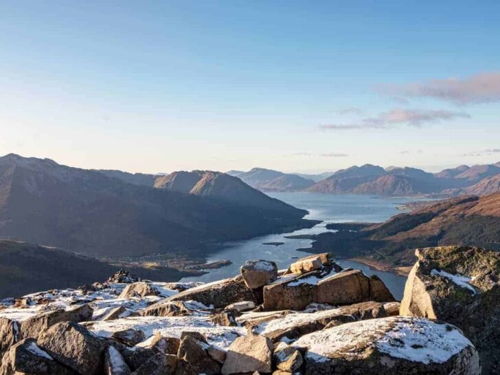


The Pap of Glencoe is one of the most rewarding short walks in Scotland.
It’s only 4 miles and 742m to the summit, but don’t be fooled by the numbers. The climb is steep, boggy, and finishes with a rocky scramble, and the view when you get there is genuinely among the best in Scotland: Ben Nevis, the Mamores, Loch Leven and the whole gateway to Glencoe laid out in front of you.
It’s classified as a Graham – under Munro height at 742m / 2,434ft – but it punches well above its weight. I’ve climbed it in various weather and put this guide together from what I wish I’d known the first time.
- Distance
- 4 miles 6.4 km, out & back
- Ascent
- 742 m 2,434 ft
- Time
- 4–5 hours
- Difficulty
- Hard Steep, boggy, light scrambling
- Start
- Glencoe Lochan car park
- Dog friendly
- Yes On lead — livestock in fields
- Classification
- Graham Sgorr na Cìche
- Best season
- May – Sept Winter skills needed Nov–Apr
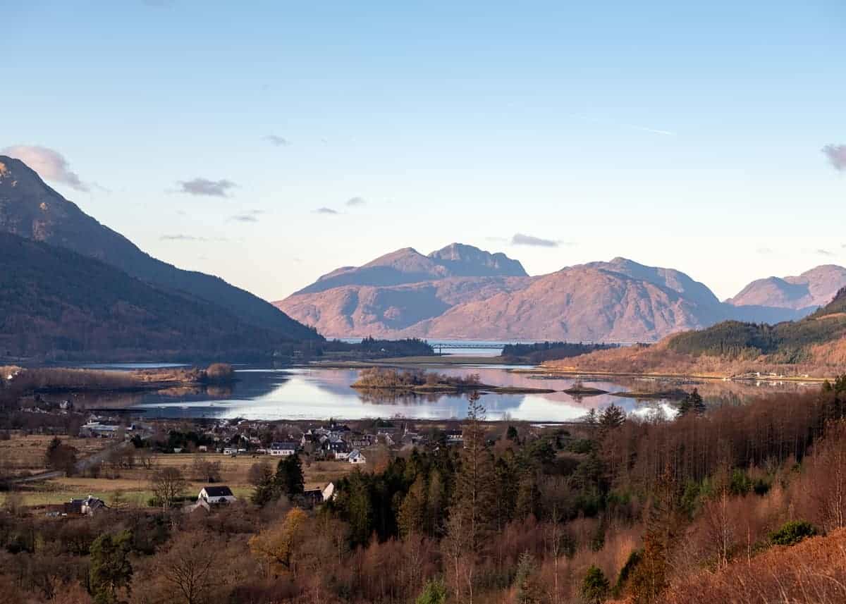
How long does it take to climb the Pap of Glencoe?
The Pap of Glencoe is located in the West Highlands of Scotland and part of the region of Lochaber. The drive from Edinburgh or Glasgow to Glencoe is around 2-3 hours depending on traffic.
With a reasonable level of fitness, the walk up the Pap will take around 4 hours from the car park, although I’d leave around 5 hours – you’ll need plenty of time on the top for photos.
The Pap of Glencoe route
Starting from the Glencoe Lochan car park (cross the bridge at the end of the village and follow the minor road for 500m), the path winds through the wooded glen before taking a turn through a gate into a field.
Keep dogs on leads here — the field is usually home to a couple of rather large cows.
Climb to the top of the field and turn left over the stream on a rickety bridge. (there an option here to follow the burn straight up, but the route is very rough) before following a muddy and boggy path along the hillside.
The path then starts to rise steeply up the Allt a’ Mhuilnn burn before sweeping east back towards the glen to avoid the burn’s deep valley.
A great effort has been made to build a new path at this point – but it is still very rough, steep and slippy – the scree has yet to bed in yet and there are lots of boggy patches to deal with.
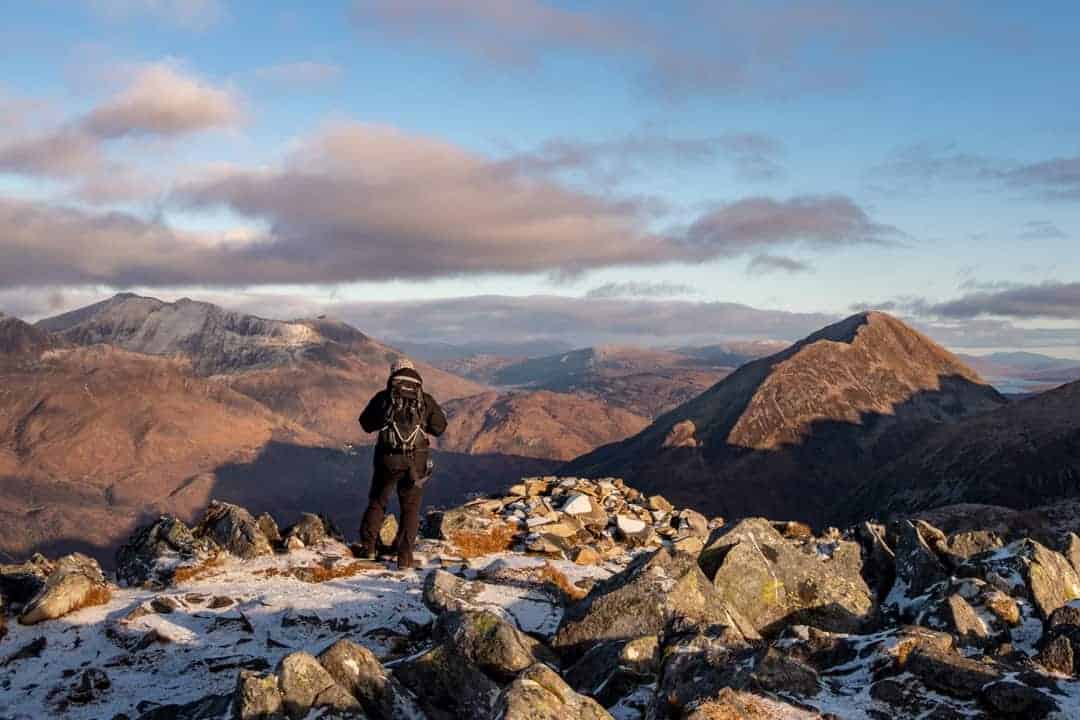
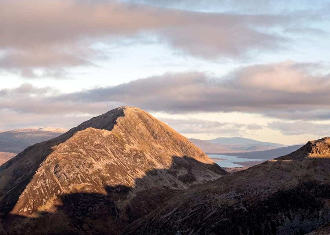
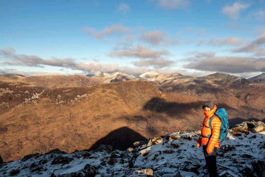
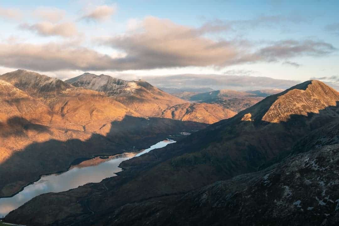
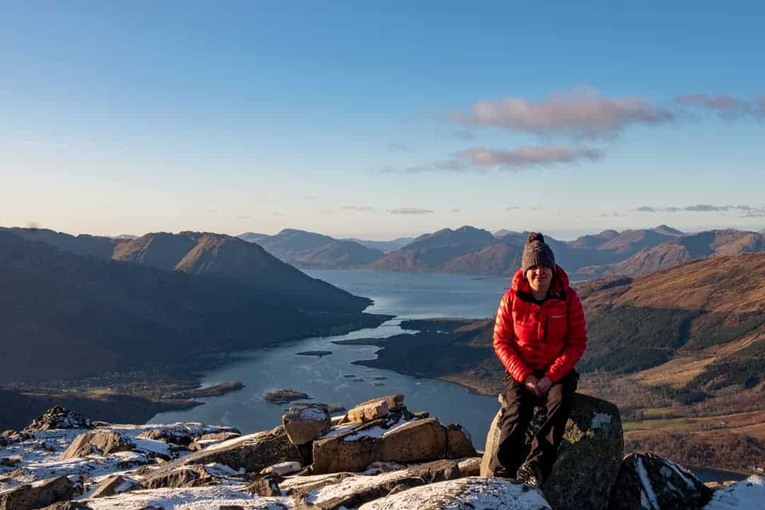
The top of the Pap is a mess of boulders, requiring some simple light scrambling around the back of the ‘pap’ before the path finally reaches the top and the view truly opens out revealing an incredible view of Ben Nevis, the giant peaks of the Mamores and Garbh Bheinn and down to Loch Linnhe at the gateway of Glencoe.
Best time to climb The Pap of Glencoe?
Scotland’s weather is best in May and September. Don’t attempt climbing the Pap of Glencoe in winter unless you are a specialist climber. For weather forecasts, I recommend you check out:
The Pap of Glencoe is a deservedly a popular hill and on a good day the car park can quickly fill up. Get there early and don’t park in the passing places if you can’t find a spot.
The pap of Glencoe route maps
- OS You will need OS Explorer map: OS Explorer map: 384: Glen Coe & Glen Etive
- Walkhighlands have a Pap of Glencoe route map
How hard is it to climb the Pap of Glencoe?
Whilst climbing the Pap of Glencoe is not technically hard, it is very steep, and the path is boggy rough so don’t climb it expecting a wee trip up Arthurs Seat.
You will need hillwalking gear and be prepared for the weather to change in a heartbeat – mist, fog and rain can sweep in quickly off the west coast of Scotland.
Make sure you are prepared for the descent, over boggy ground it’s even tougher than the ascent.
If you haven’t hill walked before, have a look at my beginners guide to hillwalking in Scotland.
How to get to the Pap of Glencoe
To get to Glencoe, either take the A82 to Glencoe Village or catch a Citilink bus. The walk starts 500m from the end of the village.
Frequently asked questions
What does Pap of Glencoe mean?
The Pap of Glencoe’s Gaelic name is Sgorr na Ciche, meaning ‘peak of the breast’ — a reference to its distinctive rounded shape. At 742m (2,432ft) it sits considerably lower than the surrounding giants of Glencoe but offers some of the finest views in the region.
How long does it take to climb the Pap of Glencoe?
With a reasonable level of fitness, allow around 4–5 hours for the full round trip. The drive from Edinburgh or Glasgow to Glencoe is around 2–3 hours depending on traffic. Leave plenty of time at the top — the views of Ben Nevis, the Mamores and Loch Linnhe are worth lingering over.
How high is the Pap of Glencoe?
The Pap of Glencoe is 742m (2,432ft) high. It is not a Munro — which requires a height of 914m — but it is a serious hill walk that should not be underestimated, particularly given the steep and boggy ascent.
How hard is the Pap of Glencoe to climb?
The Pap of Glencoe is not technically difficult but is very steep, boggy and rough throughout — considerably harder than its modest height suggests. The summit requires some light scrambling around the back of the peak. The descent over boggy ground is even tougher than the ascent. Proper hillwalking gear and waterproof boots are essential.
When is the best time to climb the Pap of Glencoe?
May and September offer the best weather conditions. Do not attempt the Pap of Glencoe in winter unless you are an experienced specialist climber — the steep, boggy terrain becomes very dangerous in icy conditions. Always check the forecast on MWIS (North West Highland), the Met Office Mountain Weather or Mountain Forecast before heading out.
Where do you park for the Pap of Glencoe?
Park at the Glencoe Lochan car park. To find it, cross the bridge at the end of Glencoe village and follow the minor road for 500m. The car park fills quickly on good weather days — arrive early and never park in passing places if you can’t find a spot. The walk starts from the end of the car park.
Love, from Scotland x

Leave a Reply