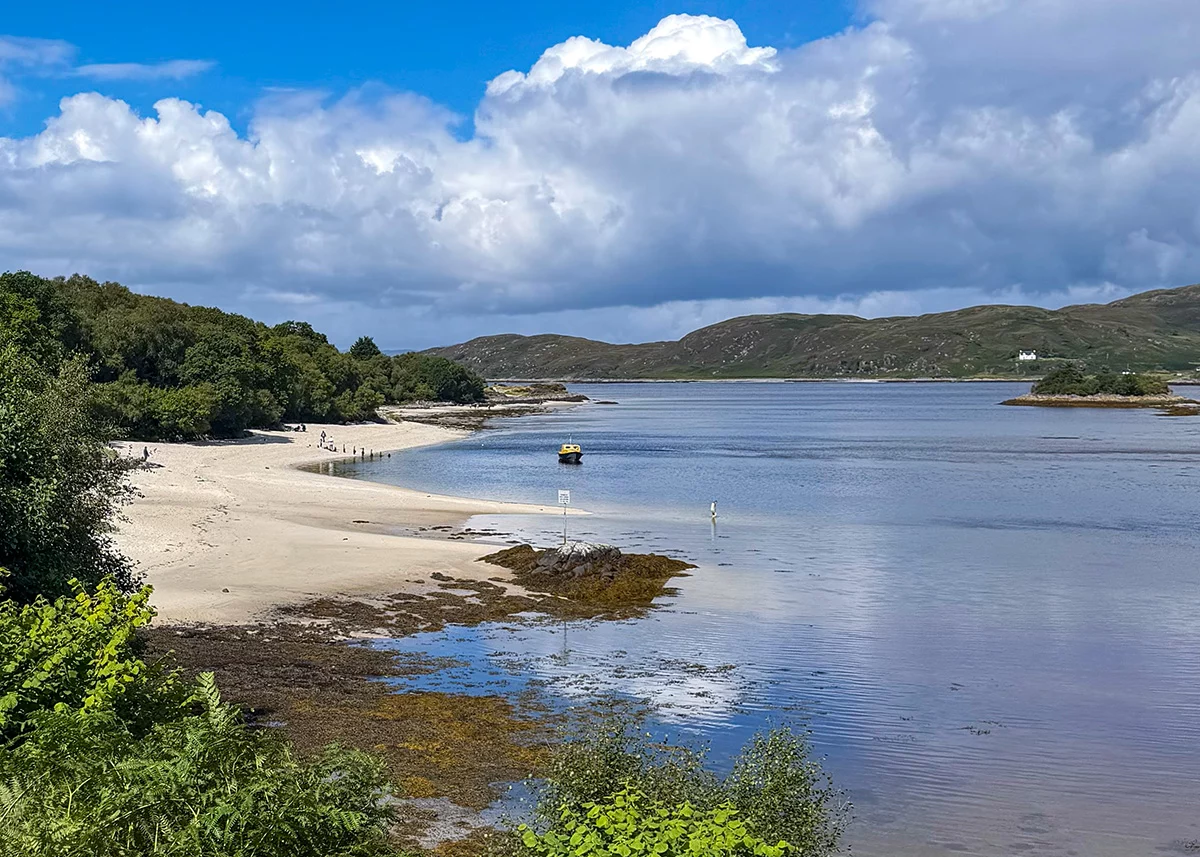


White sand beach and turquoise seas, Glenfinnan and the Harry Potter train, island hopping in all directions, langoustines landed fifty metres from your plate and the deepest loch in Britain, welcome to the Road to the Isles.
The Road to the Isles (the A830) runs 46 miles west from Fort William through Glenfinnan, Lochailort and Arisaig, and it finishes at Mallaig, a working fishing port where the road stops and the ferries take over.
The Road to the Isles road trip basics:
- Distance 46 miles, about 1 hour 20 driving.
- Allow a day at minimum, and two to four days if you want to visit the Arisaig beaches and do a boat trip.
- The best months to visit are May, early June and September.
Did you know? The name of the route comes from a traditional Scottish marching song ‘The Road to the Isles’ composed by Pipe Major John McLellan about a journey from Lochaber to Ailort and Morar and out to Skye.
Let’s explore the Road to the Isles.
This post may use affiliate links, thank you for supporting my site!
Jump to section
Getting to the start of the Road to the Isles
Fort William is about 2 hours 30 minutes drive from Glasgow, 3 hours from Edinburgh and 2 hours from Inverness. It’s on the West Highland Line from Glasgow Queen Street, and the Caledonian Sleeper runs overnight from London Euston to Fort William.
Map of things to do on the Road to the Isles
Save for your trip
My things to do on the Road to the Isles Map
Find all my recommended stops on Google Maps – the beaches and places to visit, places to stay, where to eat and petrol stations. Save it to your phone and use it offline as you drive.
Open the map in Google Maps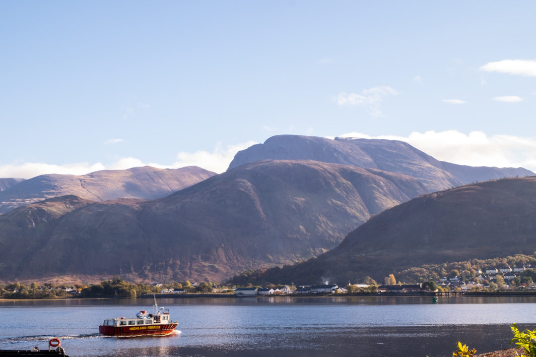
Fort William and Ben Nevis
Fort William calls itself the Outdoor Capital of the UK and exploring the incredible landscapes around the town are the best way to start your trip out along the Road to the Isles.
- A walk up to Steall Falls in Glen Nevis highly recommended. From the Upper Glen Nevis car park it’s about 3km return through the Nevis Gorge, rocky and uneven but manageable in decent boots, taking an hour and a half to two hours to get to the falls. There’s a wire bridge over the river if you fancy braving it
- The climb up the UK’s highest mountain, Ben Nevis, is one of Scotland’s ultimate challenges but it is a full and serious day out. Here is how to climb Ben Nevis.
- Also worth visiting: Inverlochy Castle on the edge of town, Ben Nevis Distillery, and the Highland Soap Company visitor centre and café near the Glen Nevis turnoff.
Fort William to Lochailort
Corpach and Neptune’s Staircase
Three miles out of Fort William, Neptune’s Staircase is a flight of eight locks on the Caledonian Canal, the longest staircase lock in Britain, lifting boats 20 metres up from Loch Linnhe. If there’s a boat going through you can watch the whole thing, though it takes well over an hour.
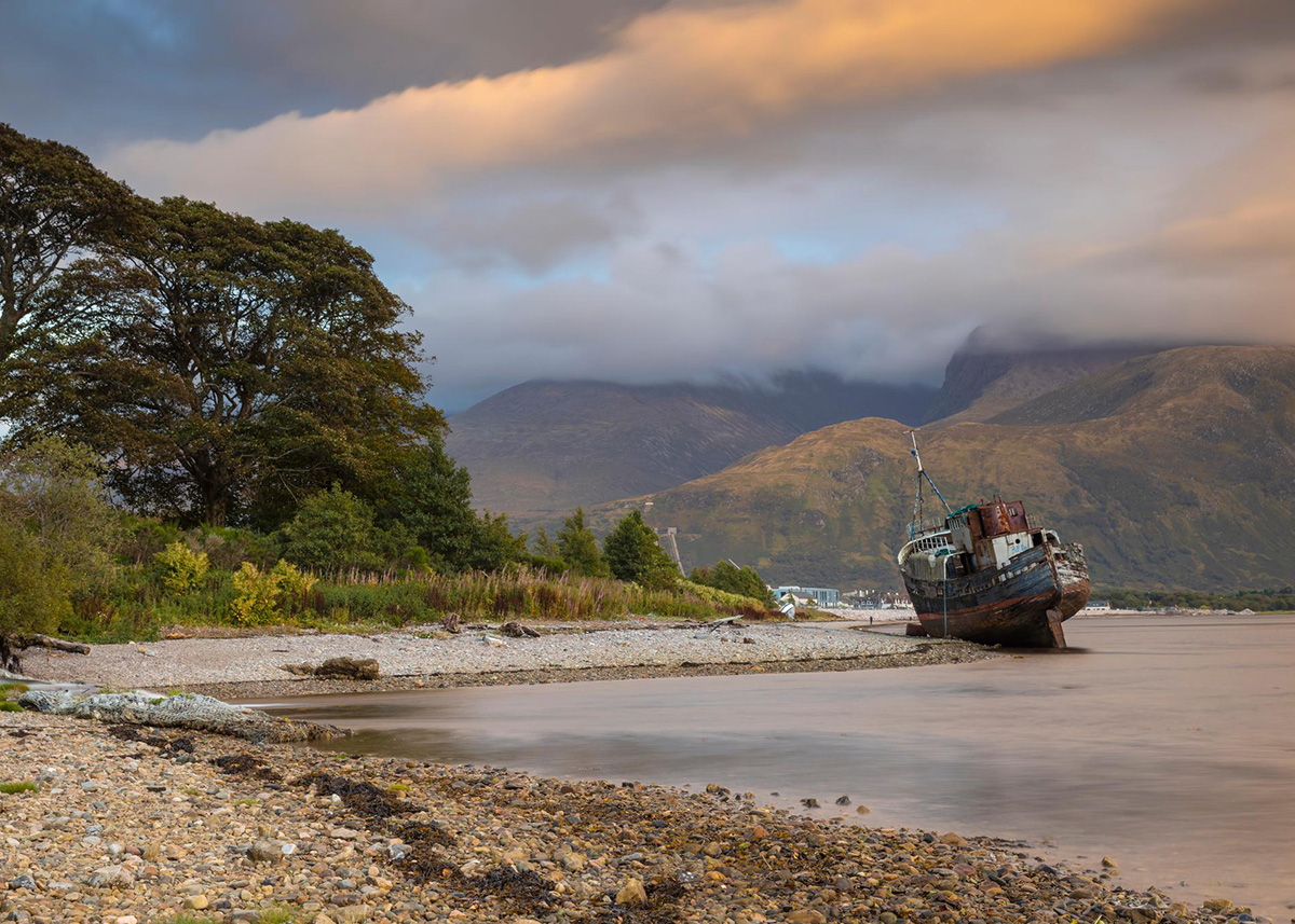
An instagram favourite is the Corpach Shipwreck, a rusting fishing boat lying on the shingle with Ben Nevis behind it. The ship is the MV Dayspring, built at Sandhaven in Aberdeenshire in 1975 and later renamed Golden Harvest, there were plans for the ship to be floating seafood restaurant but in 2011 a storm meant she ended up on the corpach beach.
Getting there: Follow the A830 from Fort William for about two miles to Corpach, then turn left at the sign for Corpach station and the Caledonian Canal. Cross the railway, park by the canal, cross at the first lock and follow the path through the trees to the shore. Free parking.
Glenfinnan and the Harry Potter Train
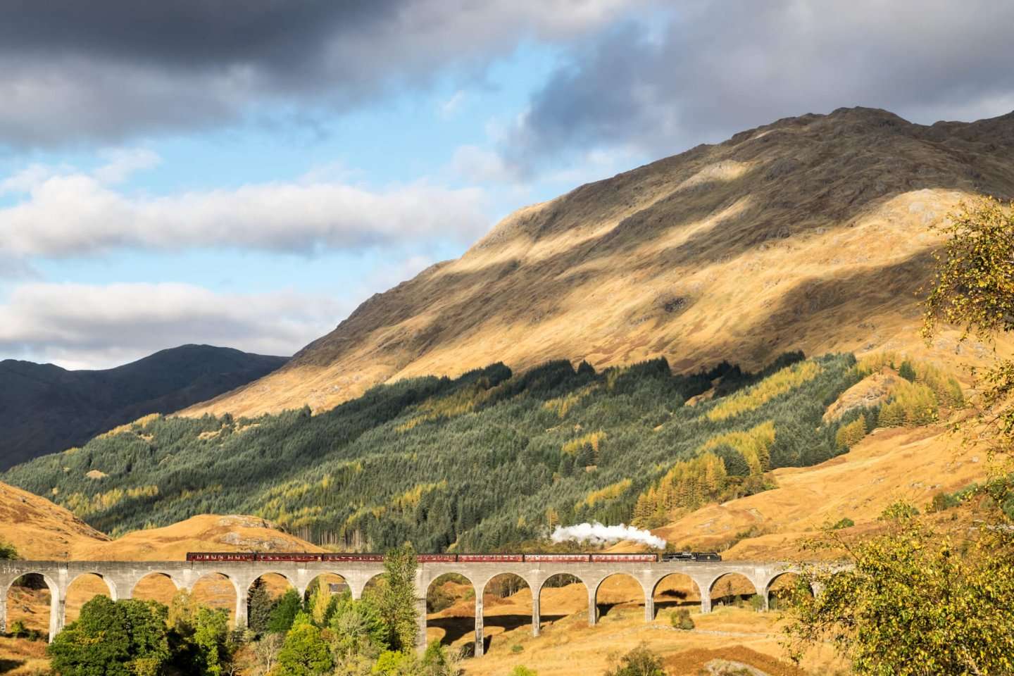
Glenfinnan is 18½ miles west of Fort William and it’s the busiest stop on the Road to the Isles and for good reason – the Harry Potter train crosses the Glenfinnan viaduct 4 times a day!
Parking at Glenfinnan
Avoid the parking nightmares and come by bus or train, the NTS have a super helpful guide to how to visit Glenfinnan without a car
If you have to drive there are two car parks at Glenfinnan:
- The National Trust for Scotland car park at the visitor centre is £5 for the day, free for members, and doesn’t take motorhomes.
- The Glenfinnan Community car park next door has spaces for larger vehicles and connects to the visitor centre by a pedestrian bridge,
Both car parks fill up from mid-morning and mid afternoon before the steam train crosses the viaduct. There’s no roadside parking anywhere in the village. If both car parks are full, don’t try and park.
Did you know? Arrive by bus or train, show a valid ticket at the visitor centre, and you can pick one of the National Trust for Scotland’s green travel rewards: a free hot drink in the café, two-for-one on climbing the monument, free entry to the Station Museum, 10% off Loch Shiel Cruises, or 10% off at the Sleeping Car Hostel. A nice thank you for leaving the car behind. Here is how to visit Glenfinnan without a car.
Toilets: the only public toilets in Glenfinnan are at the visitor centre, with an out-of-hours block in the car park that takes a £1 coin and doesn’t open with a radar key. The next public toilets going west are at Arisaig, 19 miles away.
Things to do at Glenfinnan
The 21 arches of the Glenfinnan Viaduct were made famous by the Harry Potter films, carries the Jacobite Steam Train and the West Highland Line on its way to Mallaig. The path up to the viewpoint for the train crossing takes about 20 minutes from the visitor centre, uphill and usually muddy.
The Jacobite steam train – The Jacobite runs Fort William to Mallaig and back, an 84-mile round trip taking around 2 hours 10 minutes each way. In the morning the train crosses the viaduct around 11am and in the afternoon about 3pm. The everyday ScotRail service also crosses the viaduct several times a day.
Read more: how to view the Jacobite steam train.
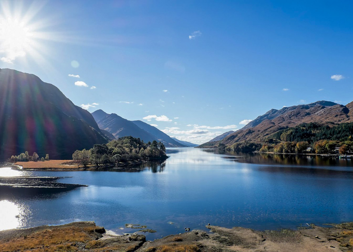
The Glenfinnan Monument stands at the head of Loch Shiel, on the spot where Bonnie Prince Charlie raised his standard in August 1745 and started the Jacobite rising. You can climb the spiral stair to the top, and the view down Loch Shiel is fantastic. Adults £5, open 11am to 12.30pm and 1.30pm to 4pm, and under-18s need an adult with them.
Glenfinnan Station Museum is a short walk from the NTS visitor centre, in the old station building, with a café in a converted railway dining carriage and a hostel in a sleeping car.
St Mary and St Finnan’s Church has the best view in Glenfinnan and the church makes for a great photo too! The church was consecrated on 19 August 1873, the anniversary of the day Bonnie Prince Charlie raised his standard at the head of this loch. It was built as a memorial chapel to the MacDonalds of Glenaladale, the family who put the Prince up before the rising, and there’s a memorial to him inside along with the family headstones.
Loch Shiel Cruises sail from the jetty below Glenfinnan House Hotel aboard the MV Sileas. Loch Shiel is eighteen miles long, reachable only by boat along most of its length, and you can look out for eagles, and red deer. You can do a short return cruise from Glenfinnan or the full length of the loch down to Acharacle. Book a Loch Shiel Cruise
Eat and drink: The Monument View Café inside the visitor centre, the Viaduct View Café outside for takeaway chips and doughnuts (roughly mid-April to October), the Glenfinnan Dining Car at the station, and Glenfinnan House Hotel for something more substantial.
Loch Eilt
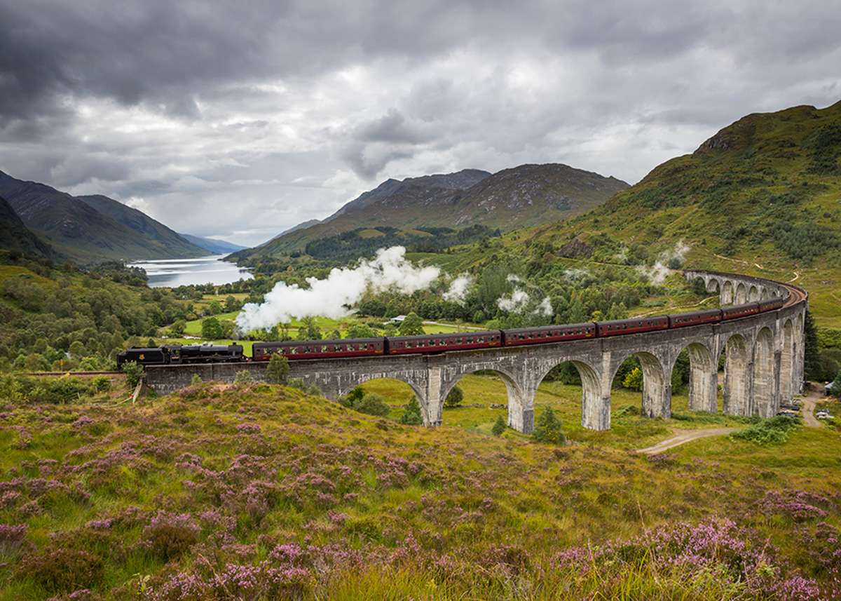
Five miles west of Glenfinnan, look out over the loch on your left for a small island covered in trees. That’s Eilean na Mòine, better known as Dumbledore’s grave.
Loch Eilt appears in several of the Harry Potter films, including the shore where Hagrid skims stones after Buckbeak’s sentencing. Loch Shiel at Glenfinnan also doubles as the Black Lake in other films, and Loch Morar was used for close-ups of the Hogwarts lake.
- Getting there: Lay-by on the A830 at PH38 4LZ, room for a handful of cars. The ground down to the shore is boggy, wear boots. You can’t reach the island on foot.
Lochailort and Polnish
The Lochailort Inn is the last stop for lunch before Arisaig. Just west at Polnish is the little white church of Our Lady of the Braes made famous in the film Local Hero.
Polnish is also the start of a fabulous walk out to Peanmeanach on the Ardnish peninsula.
Moidart
Turn left at Lochailort and the A861 takes you into Moidart and eventually out along Ardnamurchan, the most westerly peninsula on the British mainland.
Ten miles down the A861, Glenuig sits on a sheltered bay looking out to the Sound of Arisaig. The Glenuig Inn is a community owned pub with six rooms, good food, and traditional music sessions on the last Sunday of the month.
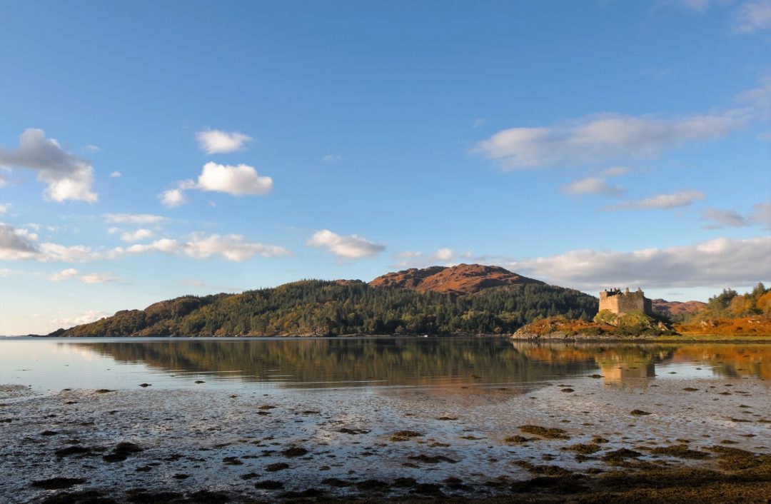
Just a few miles further on is Castle Tioram. Pronounced Cheerum, Castle Tioram has, in my opinon, one of the most romantic settings of any castle in Scotland. The castle sits on the tidal island of Eilean Tioram, where the River Shiel meets Loch Moidart, and it was the stronghold of Clan MacDonald of Clanranald from the 13th century. When the tide is out a sandbank appears and you can walk across the beach to it.
Don’t miss – The Silver Walk
Distance: 4 miles one way | Grade: Moderate | Terrain: Coastal path, rocky and slippery when wet
From Castle Tioram, cross the sandbank and turn left rather than heading back to the car park. The Silver Walk follows the south shore of Loch Moidart to Ardmolich, through birch and oak woodland with the loch and its islands below you, past the ruins of cleared villages. It’s regularly named one of the best coastal walks in the Highlands and it’s very quiet.
Read more – my full guide to Moidart, Ardnamurchan and The West Highland Peninsulas
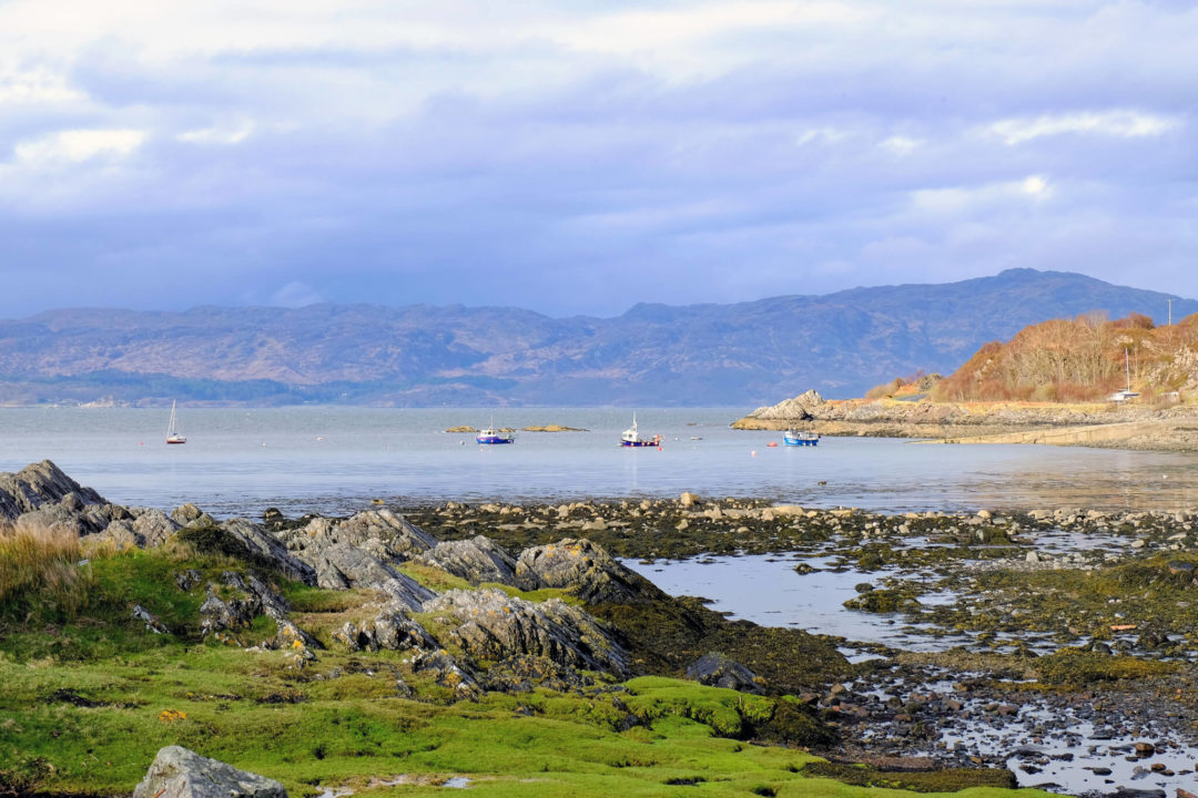
Arisaig and the coast
Loch nan Uamh and the Prince’s Cairn
Four miles past Lochailort on the A830, look for a small cairn on the shore side of the road.
Bonnie Prince Charlie first landed on the Scottish mainland at Loch nan Uamh in July 1745, on his way to raise his standard at Glenfinnan, starting the most famous of the Jacobite Rebellions. Fourteen months later, after Culloden and a long summer hiding, he was collected from this same shore and taken to France, and he never returned.
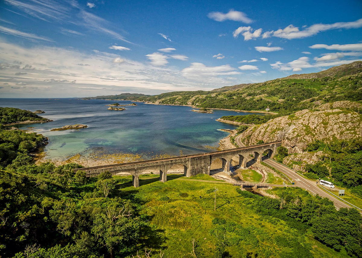
Just along the road is the Loch nan Uamh viaduct. Behind it lies Glen Beasdale, a Special Area of Conservation protecting one of the largest coastal ancient oak woods in Lochaber.
Arisaig
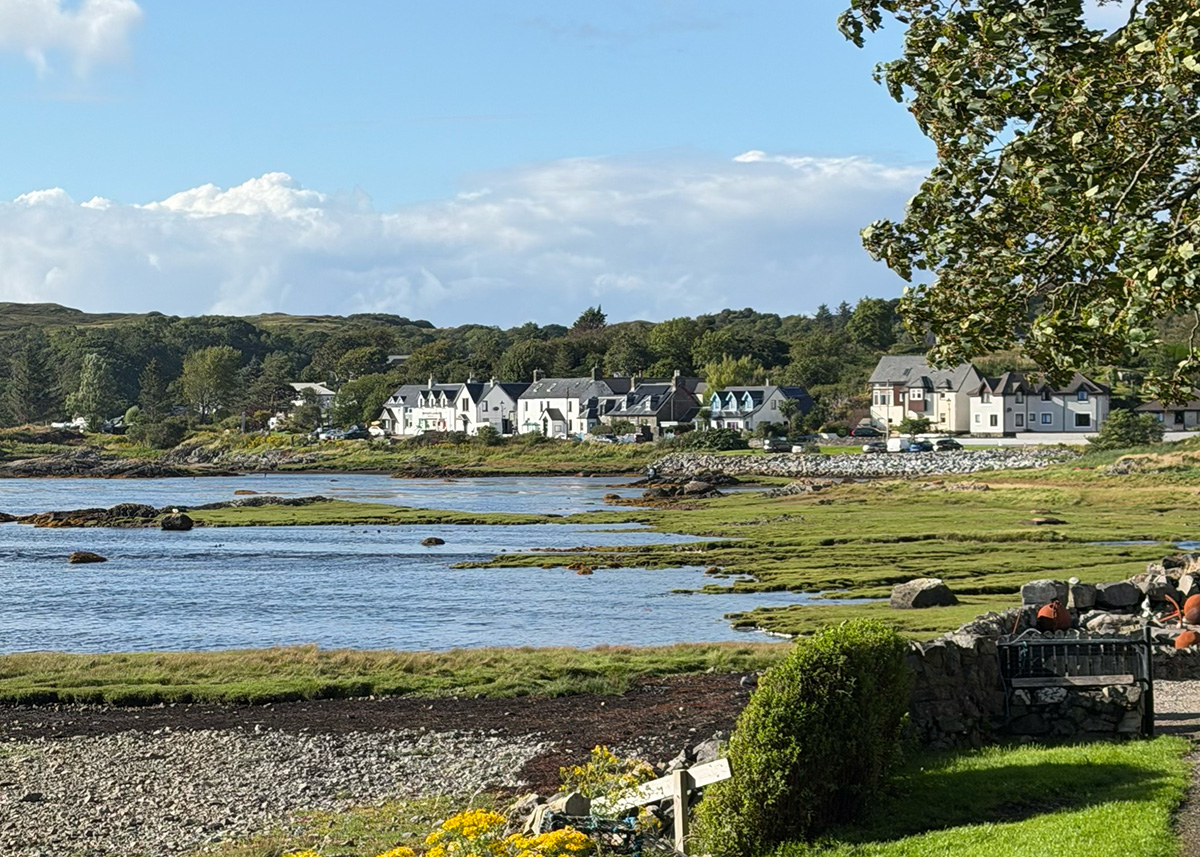
Arisaig sits on Loch nan Ceall looking west to the Small Isles, and it has everything you need for a quick stop or a longer visit – a shop, a post office, two hotels, a marina, public toilets, a village hall, an excellent playground and a very good community museum.
- What to see: The Land, Sea and Islands Centre covers marine life, crofting history and the village’s wartime role as a secret training base for Czech and Slovak special agents. There’s also a Czech and Slovak memorial in the village. Larachmhor Garden is a 28-acre wild woodland garden planted from the 1920s and known for its rhododendrons. Traigh Golf Course has nine holes on the machair with a view over Rum, Eigg, Muck and the Cuillin, non-members welcome and clubs for hire.
- Eat and drink: The Old Library overlooking the bay for seafood, book ahead. The Crofter’s Rest at the Arisaig Hotel serves food from 4pm on weekdays and noon at weekends, with local ales and live music weekly in season. The Arisaig Marine tearoom at the Boathouse does coffee, soup and very good cake with the boats in front of you, daytime only. Soundbites serves up all-day café food with a raucous welcome.
- Stay: The Arisaig Hotel & Bunkhouse is friendly and central, with rooms and a bunkhouse.
- Getting there: On the A830, 35 miles from Fort William. Arisaig station is the most westerly mainland railway station in Britain.
- Don’t miss: Arisaig Highland Games, on the last Wednesday in July.
The B8008 coast road and the Arisaig beaches
At the north end of Arisaig the old coast road leaves the A830 and runs five miles to Morar along the shore.
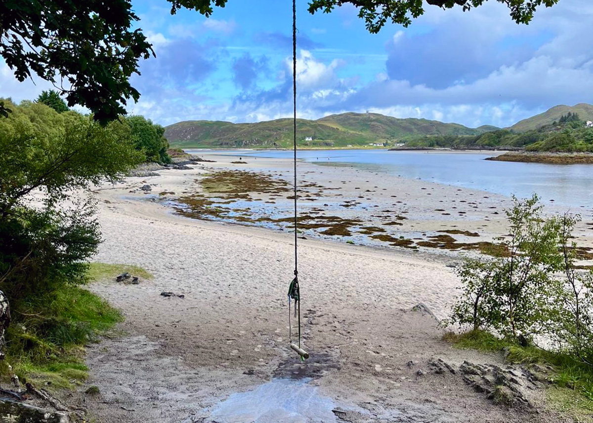
Camusdarach, Traigh and the Silver Sands of Morar are all located along this road, with a string of smaller bays in between, with white shell sands, clear turquoise water, and Eigg, Rum and the Cuillin of Skye out to see. It’s my favourite stretch of beach in Scotland.
Parking is in the small car parks along the coast, which fill from mid-morning on sunny days. There’s no roadside parking on the B8008. If you arrive to a full car park the best thing is to keep going and walk back, the two-mile route from Traigh to Camusdarach passes around eight beaches and it’s the loveliest way to see this coast.
Read more – my complete guide to the beaches of Arisaig and Morar, with every beach, all the car parks, the tides and the walk between them.
Morar
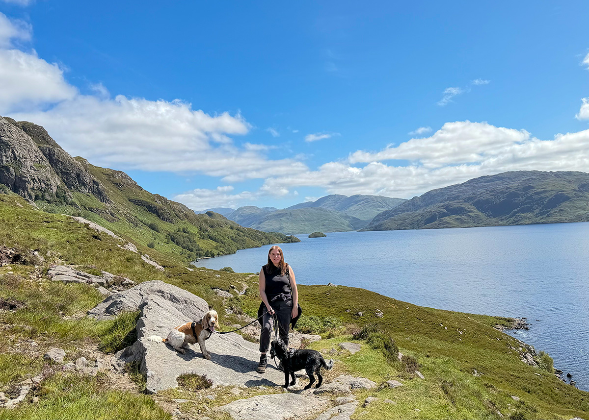
Morar is a small village on the hillside above the Silver Sands of Morar. Behind the village is Loch Morar, the deepest freshwater loch in Britain at over 300 metres, deeper than Loch Ness, with its own monster, Morag.
A single-track road runs along the north shore to Bracorina and a path carries on from the end towards Tarbet, with beautiful views along the way.
The River Morar runs from the loch to the sea in about a quarter of a mile, making it the shortest river in Britain.
- Eat and drink: The Morar Hotel’s Silver Sands Restaurant does evening meals with sea views.
- Stay: Faire Chaolais – a luxury self catering house near Morar.
- Don’t miss: Mallaig and Morar Highland Games, on the first Sunday in August.
Mallaig
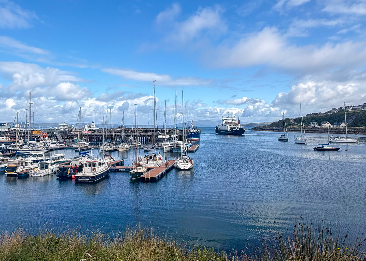
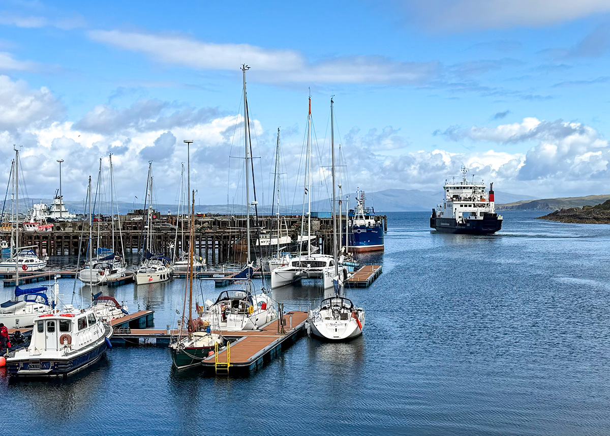
At the end of the road, Mallaig is a working fishing port, the harbour is busy all day, and the langoustines on your plate at dinner were landed about fifty metres from the table. The seafood is the best reason to come to Mallaig:
Here is where to eat in Mallaig:
- The Cornerstone has harbour views and langoustines and mussels straight off the local fleet. It’s small, so reserve ahead, and it does takeaway chip-shop fare too.
- The Crab & Creel does seafood and local meat, walk-in only, come early.
- The Fish Market on Station Road is a seafood restaurant and deli with takeaway prawn rolls for the harbour wall.
- The Tea Garden has outdoor seating and welcomes dogs.
- Bloom & Graze does breakfast pies and grazing boxes,
- The Bakehouse does pastries with a harbour view. The Chlachain Inn has regular traditional music, and the Marine Hotel and West Highland Hotel both serve food. There’s a Co-op for anything you’ve forgotten.
Mallaig gets very busy when the ferry and the Jacobite arrive within twenty minutes of each other, so aim to be in town before half twelve if you want a table. Instead buy a seafood roll from The Fish Market or a grazing box from Bloom & Graze and take it to the harbour for a view.
Boat trips from Mallaig
The road ends, but the trip needn’t. Here are three ways to keep going, via boat rather than by road.
Catch the ferry to Skye
CalMac sail from Mallaig across the Sound of Sleat to Armadale on Skye, a crossing of about seven nautical miles that takes 30 minutes. In summer the first sailing is around 7.10am and the last around 6pm.
- Booking: essential for vehicles, and worth doing for foot passengers too. There’s usually foot passenger space on the day but don’t count on it in August.
- Check-in: 20 minutes before departure with a vehicle, 10 minutes on foot.
- Coming by train? Compare the actual train arrival with the check-in cut-off, add walking time through Mallaig, and give yourself a buffer for rail delay.
- There’s no ferry to Portree. You land at Armadale and take the A851 north, or the bus.
On the other side, Sleat is known as the garden of Skye, greener and softer than the north of the island, and it’s quieter than the Trotternish circuit because most day-trippers drive straight past it.
Visit Armadale Castle, Gardens and Museum of the Isles, the former seat of the MacDonalds of Sleat, with 40 acres of woodland gardens around a ruined stately home, an excellent museum on the Lords of the Isles, the clan system, the Jacobite risings and the Clearances, a good café and a play park.
Torabhaig Distillery is nine minutes up the road at Teangue, the second licensed distillery on Skye, housed in a restored 19th-century farm steading built with stone from the ruined Knock Castle next door. There ar tours, a shop and a café. Visit Torabhaig Distillery.
Read more – things to do on the Isle of Skye
The Small Isles
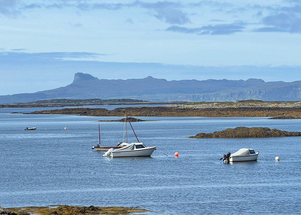
CalMac’s MV Lochnevis serves Eigg, Rum, Muck and Canna year round from Mallaig, visiting one or more islands daily. Each is quite different: Eigg community-owned and powered by renewables, Rum wild and mountainous, Muck small and green, Canna quiet and full of seabirds.
Arisaig Marine sail the MV Sheerwater to Eigg, Muck and Rum from Arisaig marina with time ashore, which is often the nicer way to do it as a day trip.
The Small Isles services take foot passengers, bikes and e-bikes only as far as visitors are concerned, and taking a vehicle requires a permit from Highland Council.
Mallaig is also the departure port for Lochboisdale on South Uist in the Outer Hebrides, if you want to keep going a good deal further.
Read more – The best Scottish islands to visit.
Knoydart and the Old Forge
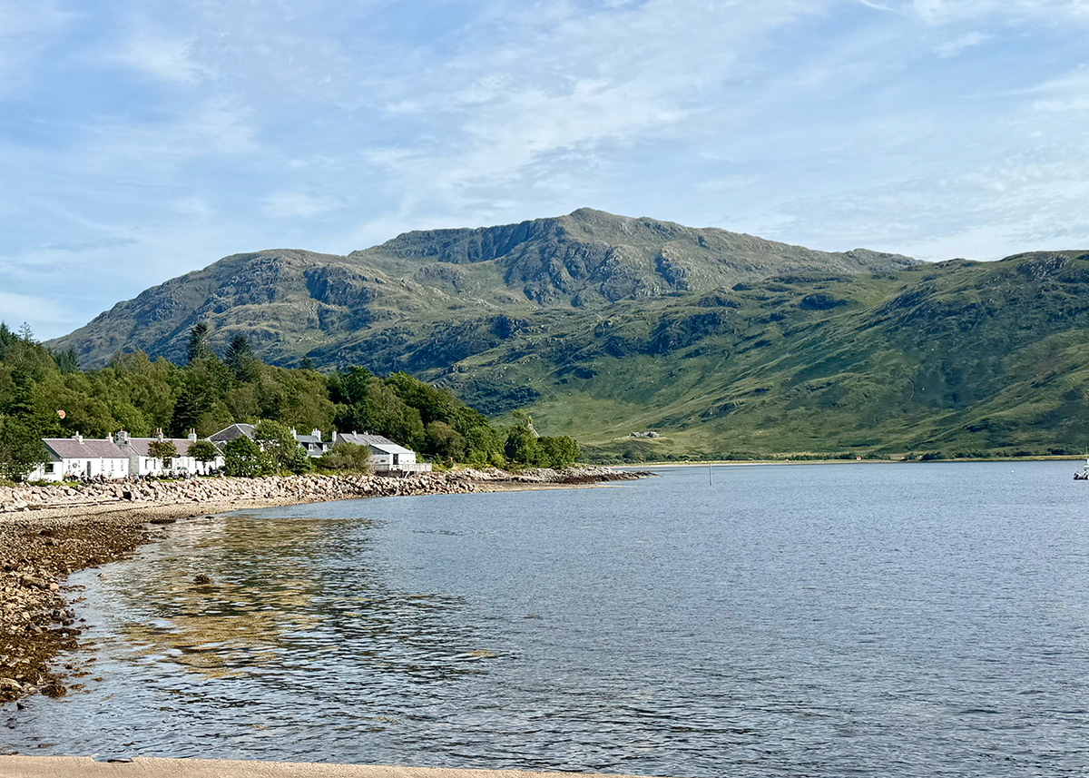
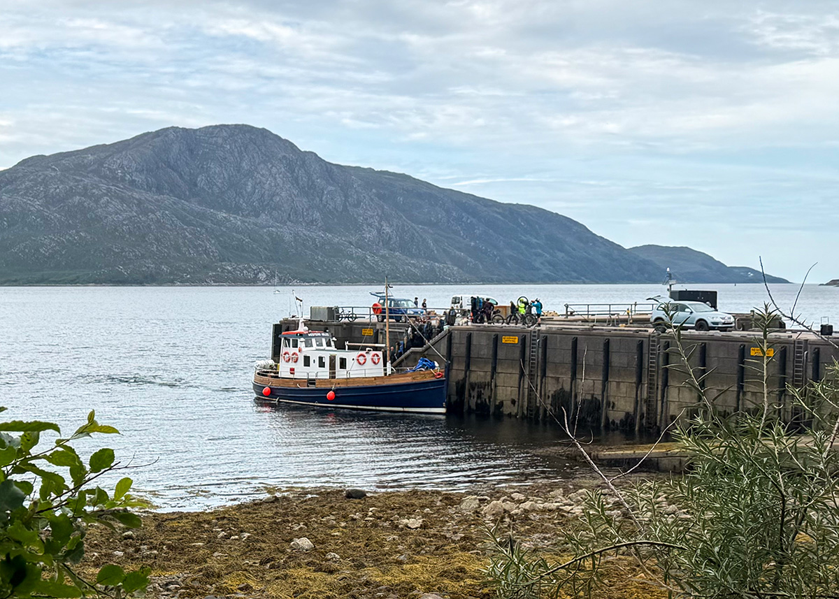
I highly recommend a day trip to Knoydart. The remotest peninsular in Scotland, Inverie has around 120 residents, no road connection to the rest of Scotland, and can only be reached by boat from Mallaig with Western Isles Cruises or a two-day walk in from Glenfinnan.
The community bought 17,500 acres of the Knoydart Estate in 1999, one of the first community buyouts in Scotland, and in March 2022 they bought the pub too.
The Old Forge holds the Guinness World Record as the remotest pub in mainland Britain. The house cask ale is brewed just up the road at Knoydart Brewery, and there are regular traditional music sessions. It’s a two-minute walk from the ferry pier. Book a table ahead for lunch or dinner.
Read more – a full guide to a day trip to Knoydart.
Where to stay on the Road to the Isles
- Arisaig is the best base for the beaches and the boats, and the most central place to stay on the route.
- Mallaig is the best base if you’re island hopping, with the ferry terminal on your doorstep.
- Glenfinnan works if you want an early start at the viaduct before the car parks fill.
- Glenuig or Acharacle if you’re doing the Ardnamurchan detour properly.
Hotels and inns
- The Arisaig Hotel & Bunkhouse — friendly and central, with a restaurant, live music and a bunkhouse alongside the rooms
- The Crab & Creel, Mallaig – rooms above a fantastic restaurant
- Lochailort Inn – hotel with restaurant located to the south of Arisaig on the Road to the Isles.
- Glenfinnan House Hotel — on Loch Shiel, right by the cruise jetty
- Glenuig Inn — six rooms, good food and music, on the A861
- Mingarry Park — four-star with hot tubs and mountain views, south of Lochailort
Self-catering and cabins
- Bourblach – a three bed holiday home near Mallaig
- Luinga Beag – a luxury cabin with an outdoor stone bath, dog friendly, near the Arisaig beaches
- Raasay Studio Lodge – a cabin near Arisaig
- Post Cottage – a 1 bed holiday home in Arisaig
- Brae Hoose – a 2 bed holiday home in Arisaig
Search places to stay by map
Campsites
There are around ten campsites on this coast, most of them on the B8008 between Arisaig and Morar, and nearly all open Easter to mid-October. Listed south to north:
- Portnadoran — family-run on a working croft with direct beach access and views to Skye and the Small Isles. Tents, tourers and self-catering. 01687 450267.
- Invercaimbe — right on the beachfront with sheltered sea inlets on two sides, the best of these sites for families with small children in the water.
- Sunnyside Croft — 40 spacious pitches, grass or hardstanding, big enough for awnings, and a Gold David Bellamy Conservation Award every year since 2013. Two miles from Arisaig station.
- Silversands, Portnaluchaig — 18 mostly hardstanding pitches plus an off-grid two-berth pod, minimum two nights, with good kayaking inlets nearby.
- Camusdarach — 30 pitches, three glamping pods, two self-catering apartments and a shop doing takeaway coffee and pastries, a few minutes through the dunes from three beaches.
Read more – my guide to where to stay in Scotland
Travelling the Road to the Isles sustainably
A few easy choices make a real difference on a popular road affected by over-tourism.
- Book a pitch if you’re camping. There are around ten designated campsites along this coast, most with beach access. Booking means you arrive to a level pitch, a hot shower and somewhere to empty the tank.
- Use the car parks. At Glenfinnan and along the B8008 the marked car parks are the only parking.
- Take the train on the busy days. The simplest way to enjoy Glenfinnan and Mallaig in July and August.
- Keep to the sand and the paths. The grassland behind these beaches is machair, a rare habitat sitting on a thin layer of shell sand that takes years to recover once it’s worn through.
- Use a camping stove rather than a fire. Disposable barbecues scorch the sand and the marram grass is very dry by August.
- Take your rubbish home. There are bins in the Glenfinnan car parks and very few elsewhere on the road.
Read more – responsible tourism in Scotland
Driving the Road to the Isles
The A830 is a modern two-lane road the whole way. The single-track sections are the optional ones: the B8008 coast road, the Rhu road out of Arisaig, the Bracorina road along Loch Morar, and most of the A861 and B8007 on the Ardnamurchan detour. Use the passing places to let faster traffic by, and remember people live and work here.
- Fuel – fill up in Fort William. There’s a filling station in Mallaig near the ferry terminal and a garage at Morar, but hours are limited and there’s nothing at all between Corpach and Arisaig.
- Cash – the nearest cash machine to the Mallaig ferry terminal is at the Co-op, five minutes’ walk.
- Toilets – Glenfinnan visitor centre, Arisaig village, Traigh, the paid Silver Sands car park and Mallaig.
- Phone signal – download maps, tide times and ferry timetables before you leave Fort William.
- Ferries – book vehicle spaces to Skye ahead in summer.
- Midges – west coast, still evenings, June to September, with August the worst. Read my midge survival guide.
The Road to the Isles by train and bus
The West Highland Line follows the same route as the Road to the Isles from Fort William to Mallaig, with stations at Glenfinnan, Lochailort, Beasdale, Arisaig, Morar and Mallaig. It’s regularly voted the most scenic railway journey in the world.
Catching the train is the easiest way to see Glenfinnan and Mallaig in high summer and the scheduled ScotRail service costs a fraction of the steam train while crossing the same viaduct.
The one thing to plan for is that no buses run the B8008 coast road, so the beaches are a walk from the stations. The Silver Sands are about half an hour on foot from Morar and Camusdarach is nearer three miles.
Shiel Buses run service 500 between Fort William and Mallaig, calling at Glenfinnan, Lochailort, Arisaig and Morar, roughly four times a day Monday to Friday and once on Saturday, with no Sunday service.
When to go
- May and early June – long days, quieter roads, and the midges haven’t arrived properly yet. My favourite.
- July and August – warmest and busiest, with the hardest parking, but this is Highland Games season, the Jacobite steam train every day and every boat is running. Start early.
- September and October – beautiful light, plenty of space, and the campsites are still open.
- November to March – wild and empty, with low winter light across the white sand. Most boat trips stop and the Skye ferry drops to two sailings a day.
Road to the Isles FAQs
How long is the Road to the Isles?
The A830 from Fort William to Mallaig is 46 miles and takes about an hour and 20 minutes without stopping. Allow a full day at minimum, and two to four days for the beaches, the walks and a boat trip.
Where does the Road to the Isles start and end?
It runs from Fort William to Mallaig on the A830. The name comes from the old routes west to the Hebridean ferries, and Mallaig is where the road ends, with everything beyond it reached by sea.
Is the Road to the Isles a difficult drive?
Not at all. The A830 is a modern two-lane road the whole way. The single-track sections are the optional detours: the B8008 coast road, the Rhu road, the Bracorina road, and the A861 south into Moidart and Ardnamurchan.
Can you drive the Road to the Isles in a day?
Yes. A comfortable day takes in Glenfinnan, one beach, an hour in Mallaig and a fish supper. Add a second day for a boat trip, a walk or more time on the coast.
Where should you stop between Fort William and Mallaig?
Corpach for the Ben Nevis view, Glenfinnan for the viaduct and monument, Loch Eilt for Dumbledore’s island, Loch nan Uamh for the Prince’s Cairn, Arisaig for the village and museum, the B8008 for the beaches, Morar for the loch, and Mallaig for the harbour and the boats.
Where do you park for the Glenfinnan Viaduct?
At the National Trust for Scotland car park by the visitor centre, £5 for the day and free for members, or the Glenfinnan Community car park next door, which takes motorhomes and larger vehicles. Both fill from mid-morning in summer, so arrive early or come back after 4pm.
Do you need to book the Jacobite steam train?
Yes, and early. It sells out weeks or months ahead in July and August and tickets are return only. If you can’t get a seat, the Glenfinnan viewpoint is free and you’ll see two crossings a day.
How long is the ferry from Mallaig to Skye?
The crossing from Mallaig to Armadale takes about 30 minutes, occasionally up to 45. CalMac run it through the day in summer and twice daily in winter. The timetable is tidal, so check the sailing times the day before rather than working from an old timetable.
Do you need to book the Mallaig to Armadale ferry?
For a vehicle, yes, and well ahead in summer. Foot passengers can usually travel on the day, though it’s worth booking in July and August. Check in 20 minutes before departure with a car and 10 minutes on foot.
Can you get to Portree from Mallaig?
Not directly. The ferry lands at Armadale on the Sleat peninsula, and from there it’s the A851 north or a bus. Sleat is worth a day in its own right, with Armadale Castle and Torabhaig Distillery both close to the pier.
Can you visit the Road to the Isles without a car?
Yes, and it’s a lovely way to do it. The West Highland Line runs the full route with stations at Glenfinnan, Lochailort, Beasdale, Arisaig, Morar and Mallaig, and Shiel Buses run Fort William to Mallaig several times a day on weekdays. No buses run the B8008 coast road, so bring a bike if the beaches are your priority.
Is there fuel on the Road to the Isles?
Fill up in Fort William. There’s a filling station in Mallaig and a garage at Morar with limited hours, and nothing between Corpach and Arisaig.
Can you camp along the Road to the Isles?
Yes, at one of the ten or so campsites on the coast, most of them on the B8008 between Arisaig and Morar and open Easter to mid-October. Book ahead in summer, especially at Camusdarach.
How do you get to Knoydart?
By boat from Mallaig with Western Isles Cruises, or on foot over two days from Glenfinnan. There is no road. Inverie has around 120 residents and the community-owned Old Forge, the remotest pub in mainland Britain.
Is Castle Tioram worth the detour?
Yes, if you have a day. It’s about 25 miles south of Lochailort on the A861, sits on a tidal island where Loch Moidart meets the River Shiel, and you can walk across the sandbank at low tide. The interior is closed, but the setting and the Silver Walk that starts there are the reasons to go.
What's the best time of year to drive the Road to the Isles?
May and early June for long days and quiet roads before the midges arrive, or September for beautiful light and more space. July and August are warmest and busiest, and best enjoyed with early starts.
Kate — Love from Scotland x
You might also like:

Leave a Reply